 By the Vietnam Expat team. Last reviewed 2026-09-22
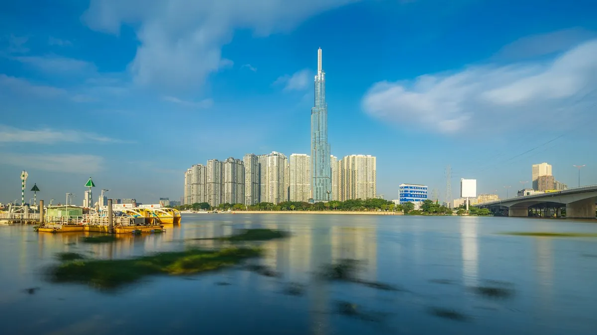
The Red River Delta, the central coast, the Mekong Delta and Saigon each have their own flood calendar.
Before you sign a lease, run these four checks:
- Find your region's flood months in the calendar table below.
- Check the address and its access road separately. Either one can flood on its own.
- Ask a building manager or long term neighbor if the entrance, parking area or basement took water in the dated events we list here.
- In a flood season month, open the current bulletin for your region first. The bulletins table is further down.
Sources: UK Foreign, Commonwealth and Development Office, Agriculture and Environment Newspaper, Ho Chi Minh City People's Committee
Where is Vietnam housing flood risk highest?
Our sources have flood figures for Lien Chieu and Ngu Hanh Son in Da Nang, Hoi An, Phu An in Saigon, parts of Hanoi, and Tan Chau and Chau Doc in An Giang.
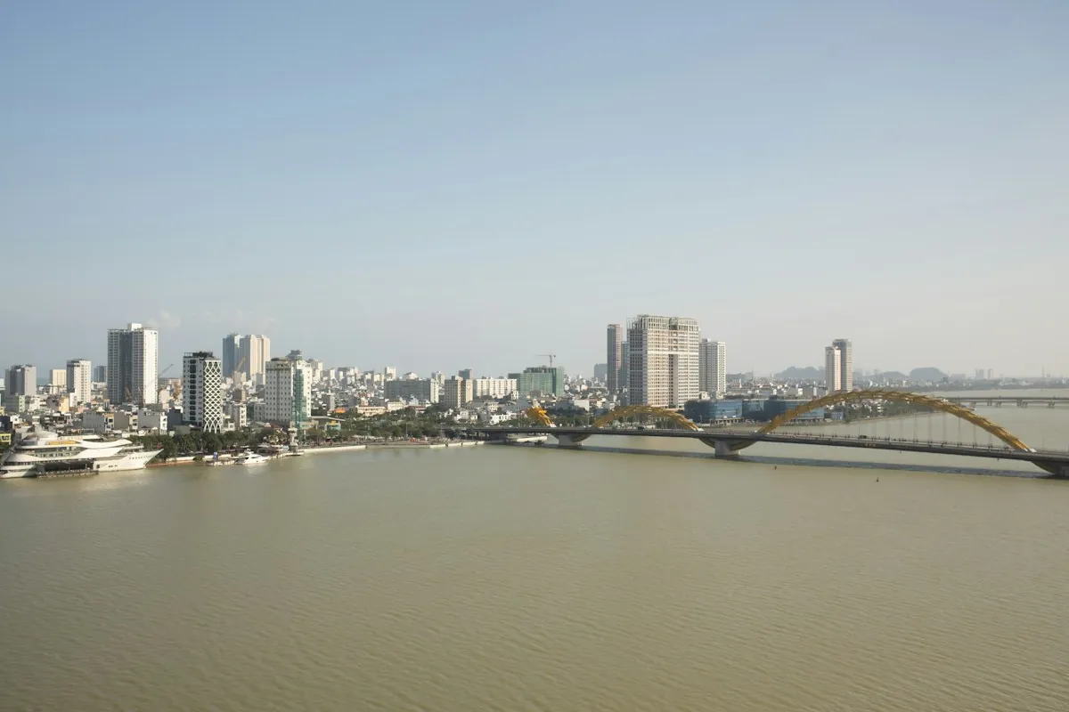
Da Nang's hazard table names Lien Chieu and Ngu Hanh Son as at risk if the sea rises 100 cm (about 39 inches). The shares of district area at risk are 4.92 and 4.6 percent.
Most of Hoi An's urban area sits at 1.2 to 1.9 m (about 4 to 6 feet) of elevation. The Thu Bon river's level affects that area. In the 2025 flood, VnExpress International recorded that river at 5.62 m (about 18.4 feet).
In Saigon, the city's Department of Science and Technology ran a flood marker study. About 32.95 percent of the inner city is at risk of flooding under its scenarios.
The Ministry of Agriculture and Environment reports a record 1.78 m (about 5.8 feet) tide at Phu An in November 2025. That's 0.18 m (about 7 inches) above Alert Level III.
Hanoi's own 2026 planning forecast counts 220 flood points across 54 wards and communes. That's if rain tops 100 mm (about 3.9 inches) an hour for many hours.
| Area | What raises the risk | Documented figure |
|---|---|---|
| Lien Chieu and Ngu Hanh Son, Da Nang | Low coastal elevation. | 4.92 and 4.6 percent of district area at risk if the sea rises 100 cm (about 39 inches). |
| Hoi An urban area | Low ground by the Thu Bon river. | Elevation 1.2 to 1.9 m (about 4 to 6 feet); the river reached 5.62 m (about 18.4 feet) in 2025. |
| Phu An, Saigon | Tide flooding near the river. | Gauge hit a record 1.78 m (about 5.8 feet), 0.18 m (about 7 inches) above Alert Level III. |
| Old Go Vap and old Thu Duc, Saigon | Rain that outruns the drains. | Named among 13 main roads still flooded by rain as of 2023. |
| Duong Dinh Nghe and Phung Hung, Hanoi | Street flooding after heavy rain. | Up to 1 to 1.5 m (about 3 to 5 feet) deep after Typhoon Bualoi. |
| Tan Chau and Chau Doc, An Giang | Upstream river flood season. | 2026 forecast puts both stations above alert level one. |
Source: Da Nang city portal, HCMC Department of Science and Technology, government e-newspapers and Southern Hydraulic Planning Institute, checked 2026-09-21 and 2026-09-22.
Sources: Da Nang city portal (2, 3), VnExpress International (12, 13), Ho Chi Minh City Department of Science and Technology, Ministry of Agriculture and Environment (7, 8), VnExpress, Government e-newspaper, Agriculture and Environment Newspaper
Which parts of Vietnam are affected by floods?
The UK Foreign, Commonwealth and Development Office (FCDO) names three regions with seasonal flooding in its travel advice. They are central Vietnam, the area around Hanoi along the Red River, and the Mekong Delta. Saigon is covered separately below.
How exposed is Vietnam to floods overall?
A peer reviewed study in the journal Heliyon calls flood Vietnam's most frequent and deadliest hazard, ahead of storms, drought and landslides. Floods caused 70 percent of the country's natural disaster deaths from 1990 to 2019, more than any other hazard.
By Vietcetera's ranking of the share of population exposed to flooding, Vietnam ranks third, at 46 percent of its 98 million people. The Netherlands is first at 59 percent and Bangladesh second at 58 percent.
By a separate count, the World Resources Institute names Vietnam as one of 15 countries with the most people exposed to river flooding. Together they account for nearly 80 percent of the people affected by river floods in an average year.
Both lists put Vietnam near the top. Neither list rates single addresses.
Does flooding reach the Red River Delta and Hanoi?
Yes, in two ways: the Red River in its flood season, and heavy rain from typhoons that floods streets.
The Hanoi Investment Portal gives the Red River's flood season level. It averages 4 to 5 m (about 13 to 16 feet) above the city's ground level. Local waterlogging, meaning standing water, is also frequent.
Typhoon Yagi hit in September 2024. The director of the national forecasting center called it the strongest typhoon on the East Sea in 30 years. The Red River at Hanoi reached its highest level in 20 years.
Twenty of 25 northern provinces and cities had serious flooding. Three provinces were placed at disaster risk level 4, which the source describes as close to catastrophe level.
When does the central coast of Vietnam flood?
The UK FCDO says seasonal flooding in central Vietnam comes in October and November.
Da Nang's own portal says floods there usually come from September to November. Its rain season runs September to December and brings over 70 percent of the city's yearly rain.
Da Nang's drainage article says flooding starts near 40 to 50 mm (about 1.6 to 2 inches) of rain an hour in nine areas. Some streets go under sooner, at 25 to 30 mm (about 1 to 1.2 inches) an hour.
VnExpress International's year end recap says the Bo River in Hue crested at 5.31 m (about 17.4 feet) on 27 October 2025. That's above its 2020 record. Khanh Hoa province had 22 deaths and about 100,000 properties flooded.
Is seasonal flooding common in the Mekong Delta?
Yes, the UK FCDO lists the Mekong Delta among the regions where seasonal flooding is common. The Southern Hydraulic Planning Institute puts the 2026 flood season at June to late November. The peak runs from the second half of September into mid October.
The institute's 2026 forecast puts the upstream Tan Chau station at about 3.8 m (about 12.5 feet), just above alert level one. It puts the Ganh Hao gauge tide peak at 2.69 m (about 8.8 feet) on 27 November 2026. The institute forecasts that as the station's highest tide of 2026.
What causes flooding in Saigon?
The Ministry of Agriculture and Environment names four causes of Ho Chi Minh City flooding. They are rain beyond drain capacity, rising tides, serious land subsidence (sinking ground), and overloaded, outdated drains.
If you rent, ask which of these four reach your street and building entrance, and check the answer against the dated events here.
For more depth, read the full Saigon flooding breakdown, street by street. It covers the named streets, the tide record and the city's drainage projects.
Ho Chi Minh City's own climate page puts the rainy season at May to November, about 90 percent of the city's annual rainfall.
The Ministry's outlook expected peaks of 1.70 to 1.80 m (about 5.6 to 5.9 feet) in 2026.
Sources: UK Foreign, Commonwealth and Development Office, Heliyon, Vietcetera, World Resources Institute, Hanoi Investment Portal, Government e-newspaper (6, 15), Da Nang city portal (2, 3), VnExpress International, Agriculture and Environment Newspaper, Ministry of Agriculture and Environment (7, 8)
In which months does Vietnam flood?
Each region has its own flood calendar.
| Region | Rain or flood season | Sharpest risk |
|---|---|---|
| Red River Delta and Hanoi | May to October. | Typhoon Yagi brought serious flooding in September. |
| Central coast, Hue to Khanh Hoa | October to December rain. | Seasonal flooding is documented in October and November. |
| Mekong Delta | 2026 forecast: June to late November. | The 2026 forecast puts the peak from the second half of September into mid October. |
| Saigon, Ho Chi Minh City | May to November rain. | A record tide peak, 1.78 m (about 5.8 feet), hit in early November 2025. |
Source: UK FCDO, city portals for Hanoi, Da Nang and Ho Chi Minh City, and the Southern Hydraulic Planning Institute, checked 2026-09-21 and 2026-09-22.
For rain and temperature by city and month, see our month by month climate breakdown.
Sources: Hanoi Investment Portal, Government e-newspaper (6, 15), UK Foreign, Commonwealth and Development Office, Agriculture and Environment Newspaper, Ministry of Agriculture and Environment
Is Hoi An at risk of flooding?
Yes. Two things affect flooding in Hoi An: the Thu Bon river's level and the low ground of the urban area.
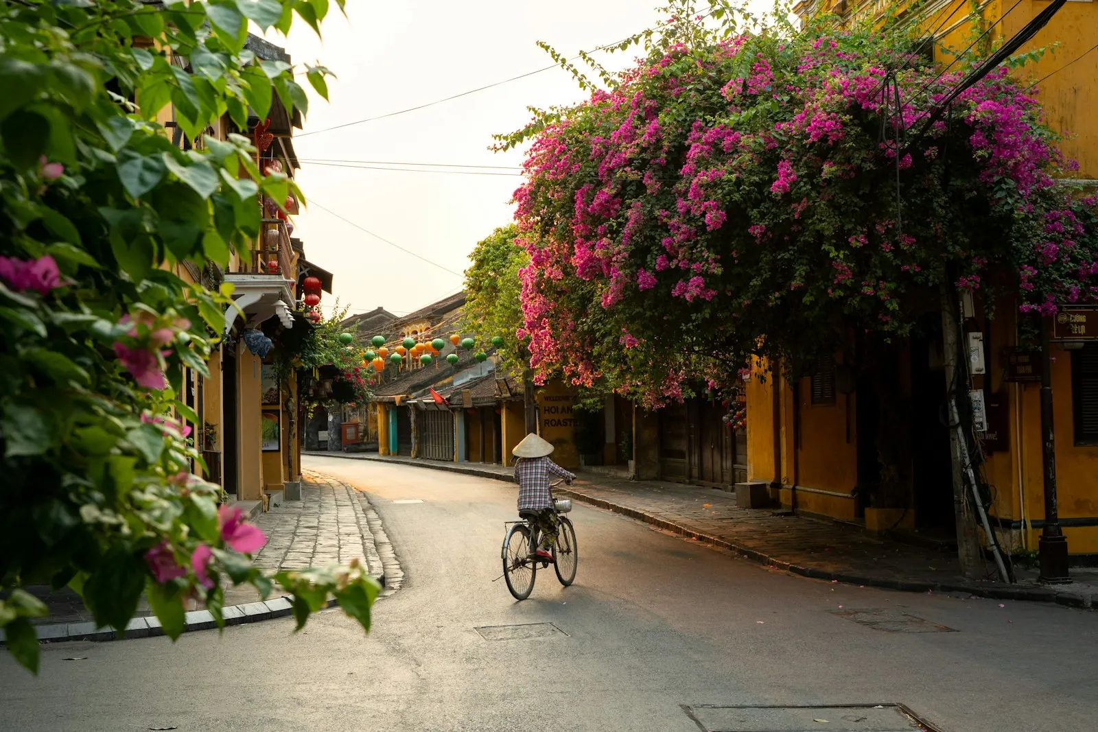

Hoi An flooding concentrates on three named streets: Cua Dai, Le Hong Phong and Lac Long Quan. The stated causes are small culvert openings (pipes that carry water under a road) and low road levels.
In the 2025 season, the Thu Bon river passed its 1964 flood level by 0.14 m (about 5.5 inches).
A Da Nang city press briefing counted 65,097 flooded households and 1,429 households moved to safety across Da Nang that October. The city rated the rain as equal to the historic levels of 1999 and 2009.
What time of year does Hoi An flood?
For Hoi An, the UK FCDO gives the flooding window for central Vietnam as a whole: October and November.
Da Nang's own portal puts that city's flood months at September to November. The 2025 Thu Bon peak, in October, fell inside that window.
For the fuller record, read the Da Nang and Hoi An flooding deep dive. It covers the city's drainage projects and its digital flood map.
Sources: Da Nang city portal (2, 3, 4), VnExpress International, UK Foreign, Commonwealth and Development Office
How bad were Vietnam's floods, region by region?
Floods broke records in several places across Vietnam in 2025, says VnExpress International's year end recap. Ho Chi Minh City's tide hit an all-time high in November.
| Region | What the season did | Peak figure |
|---|---|---|
| Hanoi | Typhoon Bualoi flooded the city over two days of heavy rain. | 616 mm (about 24 inches) of rain at O Cho Dua; some streets reached 1 to 1.5 m (about 3 to 5 feet) deep. |
| Ho Chi Minh City | A May downpour, the heaviest in 8 years, and a November king tide that hit an all-time high. | nearly 230 mm (about 9 inches) of rain in about 90 minutes; a 1.78 m (about 5.8 feet) tide. |
| Da Nang and Hoi An | Late October rain matched the historic 1999 and 2009 seasons. | 65,097 households flooded; the Thu Bon river hit 5.62 m (about 18.4 feet). |
| Hue | The Bo River broke its 2020 record. | A crest of 5.31 m (about 17.4 feet) on 27 October. |
| Khanh Hoa | Recorded more deaths than nearby Lam Dong. | 22 deaths, versus five in Lam Dong; about 100,000 properties flooded. |
| South central coast | A week of heavy rain, 400 to 900 mm (about 16 to 35 inches). | Over 272,000 houses under 1 to 3 m (about 3 to 10 feet) of water. |
Source: VnExpress International year end flood recap, checked 2026-09-21.
If a home you're checking sits in one of these regions, ask the building manager or a long term neighbor what reached the entrance, parking and access road during that event.
The 2026 Saigon tide and Mekong Delta river figures above are forecasts, not records.
Sources: VnExpress International (12, 13), Ministry of Agriculture and Environment, Da Nang city portal, Agriculture and Environment Newspaper
Where can you check current flood bulletins in Vietnam?
Open the bulletins in the table below for current conditions. Each one is dated, so start with the newest.
| Region | Where to check | What it shows |
|---|---|---|
| Central Vietnam, Hue to Khanh Hoa | Vietnam.vn storm bulletins. | Dated rain totals and river alert stages; open the newest one. |
| Da Nang and Hoi An | The Da Nang Civil Defence Command portal. | Ten day forecasts and heavy rain warnings. |
| Ho Chi Minh City | The ministry's tide outlook and the city's 2026 drainage plan. | Tide peaks and the citywide severe flood point count. |
| Mekong Delta, An Giang to Ganh Hao | The Southern Hydraulic Planning Institute's seasonal forecast. | River levels against alert stages and tide peaks. |
| Any province | The national forecaster, shown here for Hanoi. | Ten day forecasts and a sea section with tide data. |
Source: Vietnam.vn, Da Nang Civil Defence Command and the national forecaster, checked 2026-09-21 and 2026-09-22.
Sources: Vietnam.vn, Da Nang Civil Defence Command, Ministry of Agriculture and Environment, Ho Chi Minh City People's Committee, Agriculture and Environment Newspaper, National Center for Hydro-Meteorological Forecasting
Is a home's flood risk separate from its access road's flood risk?
Yes, the address and the road to it can flood on their own. A dry apartment can sit behind a street that floods. None of the city lists above go down to building level.
That's why the checks at the top treat the street and the building as two jobs. Every event we list is dated, so you can test what a manager or neighbor tells you against it.
A flooded access road also changes how you get to work or school. See how flooded roads change getting around for what that means day to day.
Flood risk is one of the environmental checks for a home search in Vietnam. Air quality is another: see how air quality varies across Vietnam's cities.
Ho Chi Minh City's 2026 drainage plan names 50 severe flood points citywide. It budgets nine drainage projects, worth 7,150.985 billion VND, to fix three of them. That's about USD 279 million at the State Bank of Vietnam's September 2026 exchange rate.
Sources: Ho Chi Minh City People's Committee, State Bank of Vietnam